Gomila is a 1207 meters high peak located in Čićarija. The starting point of the trail is a small village Rašpor, 693 meters above the sea level.
St. Nicholas church named for the first time 1385 and reconstructed in 1585 an later in 1814.


Water source near the church. More from the water sources of Čićarija: https://blueistragreen.com/water-sources-of-cicarija/

About 600 meters to the north of the Rašpor village on the Gradina hill, 829 meters high hilltop, is located Raspor’s Captains fortress. The medieval ruins of the main castle buildings (22 x 32m) located on the hilltop were created around the year 1000. More info : https://blueistragreen.com/raspor-castle/

The last part of the path of the ascent to Gomila

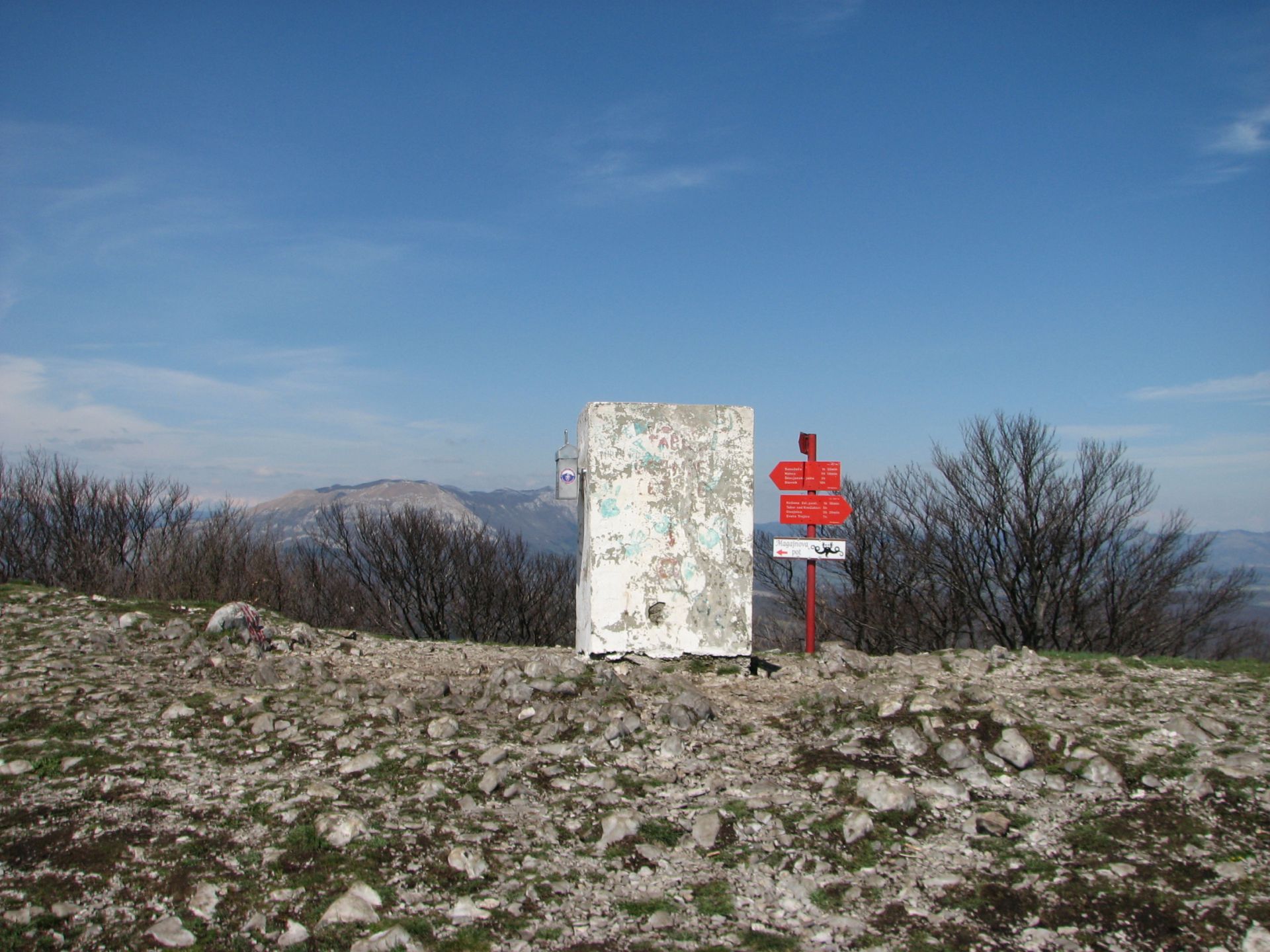
At the top of Gomila

A view on Orljak (1106m) … Učka (1401m)

Učka (1401m)

A view on Žbevnica (1014m)

A view on Slavnik (1028m) and other SLO hills

Downhill through the forest

The trail is about 7km long with an altitude of about 400m

GPX download: